Public service and infrastructure
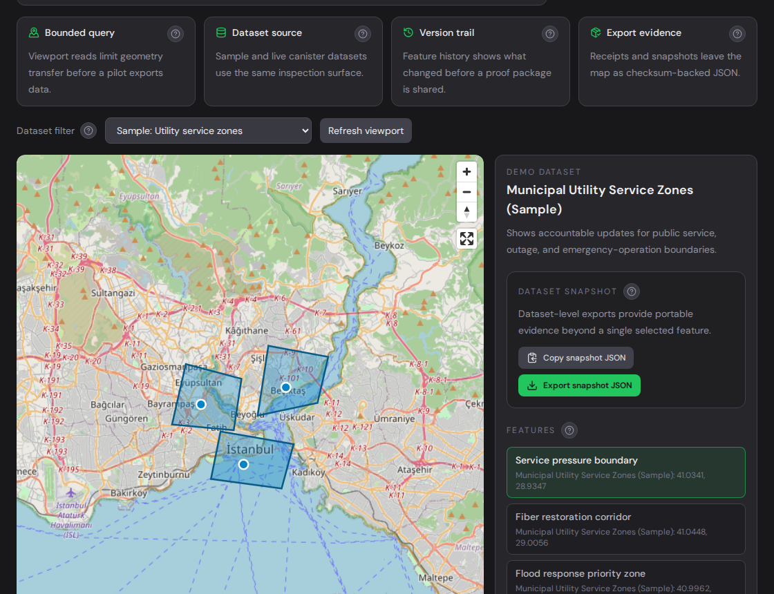
Service areas, public works layers, outage regions, asset boundaries, maintenance corridors, and response zones.
terminode.xyz
TermiNode is sector-agnostic. It fits any workflow where an accepted location, boundary, corridor, or service region must be inspected later with history, proof, and exportable evidence.
Proof-heavy workflows
The strongest use cases are not defined by one industry. They are defined by review pressure: a boundary changed, a corridor was approved, a zone was used for a decision, or a location claim needs evidence.
Service areas, public works layers, outage regions, asset boundaries, maintenance corridors, and response zones.
Delivery zones, regulated areas, route corridors, restricted regions, and customer-facing coverage rules.
Claim boundaries, inspection footprints, exposure zones, field evidence metadata, and review-ready proof packages.
Integration pattern
TermiNode should sit beside mature GIS, CRM, field, data warehouse, or operational systems. The existing app keeps daily workflow speed; TermiNode stores the accepted spatial state and evidence trail.
Fetch the current viewport or selected dataset without turning TermiNode into a full basemap or routing provider.
Link safe external references, feature IDs, proof receipt IDs, asset boundary IDs, and evidence hashes to the spatial record.
Export GeoJSON, snapshot checksum, feature history, audit events, and proof receipt for procurement, dispute, audit, or partner review.
Packaged evaluation
Each package includes two importable polygons, a namespace and metadata contract, buyer roles, one proof question, a review sequence, required evidence, support limits, and measurable success criteria.
Inspection footprints, work zones, handover areas, and maintenance boundaries.
Service areas, restoration corridors, pressure zones, and emergency boundaries.
Inspection areas, exposure boundaries, claim footprints, and disputed location records.
Restrictions, permits, regulated areas, and partner exception records.