Accepted geometry
Store the reviewed boundary, corridor, service area, claim region, or compliance zone.
terminode.xyz
Infrastructure GIS is one example category, not the whole product. TermiNode stays sector-neutral: it adds proof receipts, geometry history, audit trails, and evidence export beside existing GIS systems.
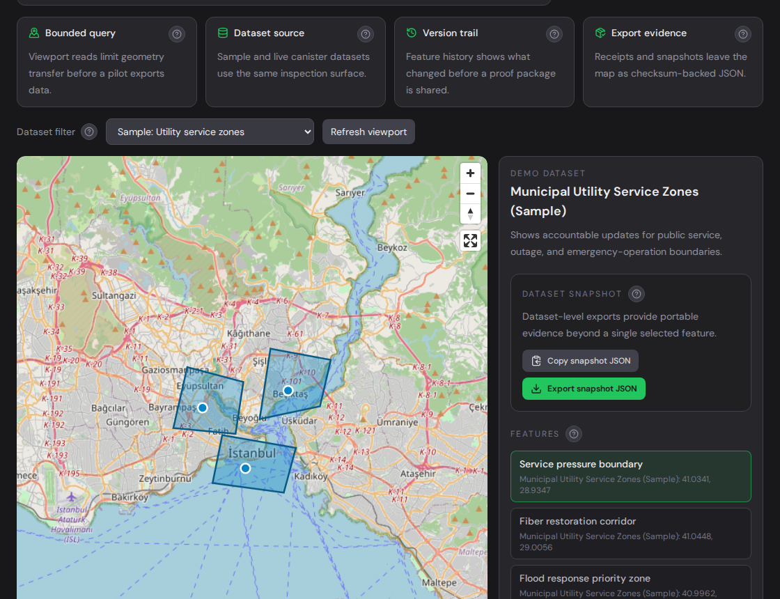
Example use case
Infrastructure workflows may need durable road, rail, energy, telecom, maintenance, inspection, and project corridor records.
Store the reviewed boundary, corridor, service area, claim region, or compliance zone.
Keep a visible history when the accepted spatial record changes.
Archive proof receipt, snapshot checksum, audit events, and GeoJSON evidence.
Workflow
Start with one high-value layer and a safe sample. Validate the geometry, import accepted features, update one feature to create history, and export the evidence package.
Infrastructure GIS is only one practical example. The same proof-layer model applies anywhere accepted geometry needs a reviewable record.